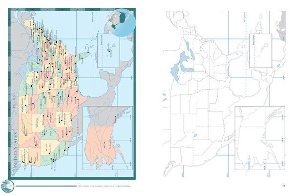
The folks at Classical Conversations believe that an important part of any education is knowing the places of the world. Keeping up with current events, traveling (even vicariously), or researching information about one's ancestry are all examples of how geography inserts itself into daily discussions. They've found that studying geography—really studying, with the intent of learning the world—is most effectively accomplished by practicing the three classical components of memorization: repetition, intensity, and duration. To that end, this book introduces each world region with physical and political maps so that students can observe and draw their own maps. They are practicing cartography: learning the shapes, sizes, and places of our world. It also provides blank maps for young students to trace.
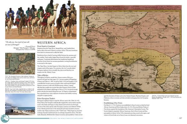
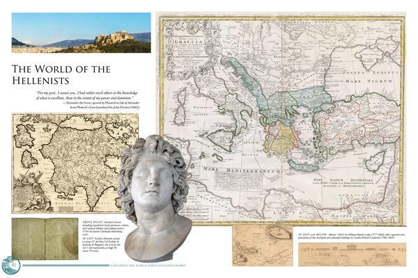
The book is lovely, including beautiful examples of historical maps that show our unfolding knowledge from exploration and political movement. The authors wrote brief overviews of each region to illustrate how the physical characteristics influenced the culture, economy, and boundaries; to help link historical names with places; and to whet your appetite to learn even more.
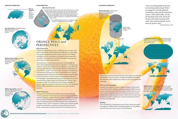
Satellite maps taken in recent years provide actual images of Earth and sometimes "see" beyond what our eyes can observe. The authors slipped in some science and math, too—because our world is a sphere, and science makes a habit of studying it.

Finally, there are a number of questions provided at the beginning of each world region to spark interest and discussion.
Did you find this review helpful?